Assessing the Performance of the Remote Sensing Toolkit During Its Trial Run in the Ma and Neun/Ca Transboundary River Basins (12 Aug, 2025)
Collaborative Land Cover Dynamics Assessment in the Ma and Neun/Ca River Basins
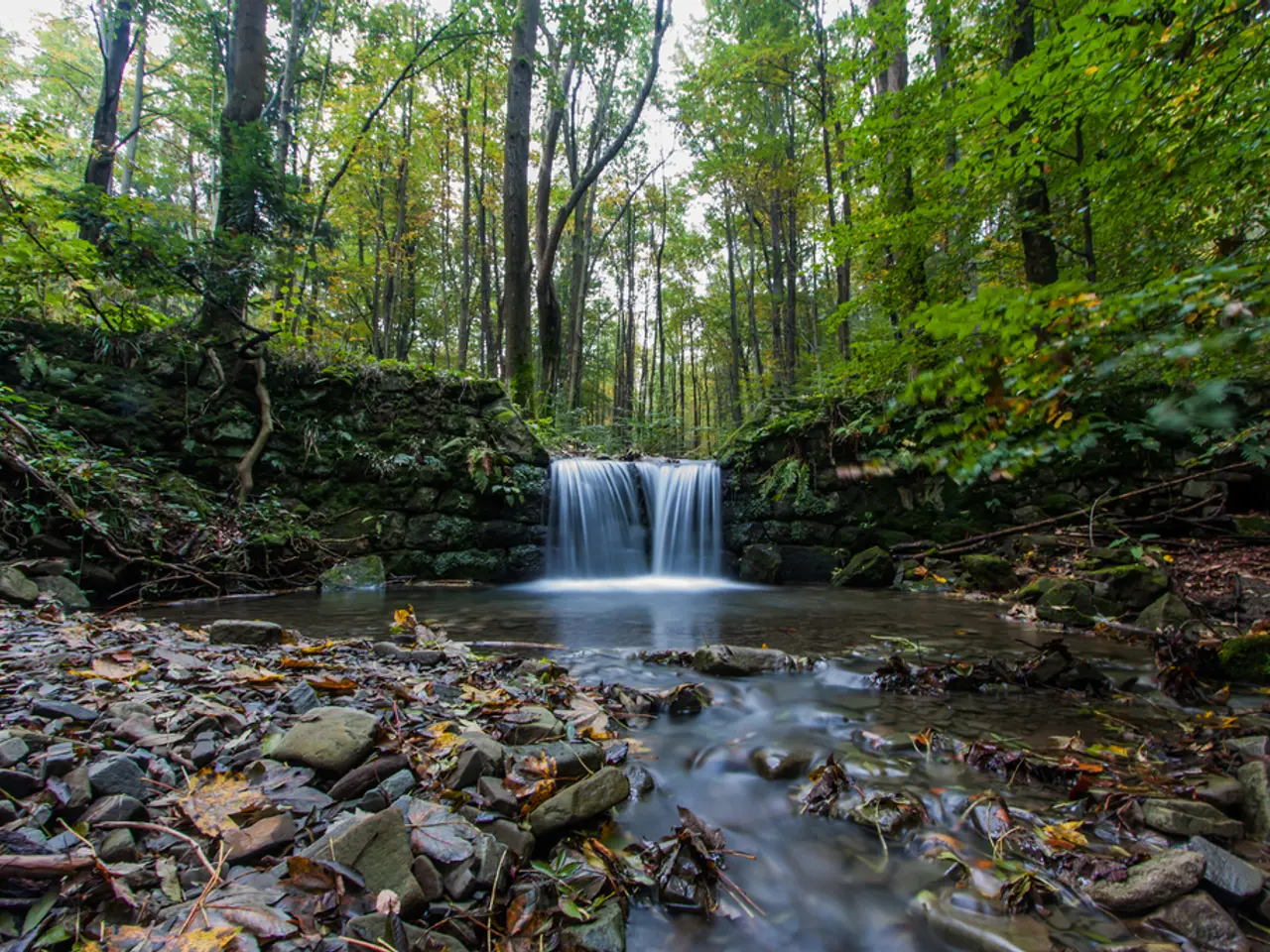
In July 2025, a team of researchers embarked on a field visit to Song Ma District, Son La Province, as part of a collaborative project to assess land cover dynamics in the Ma and Neun/Ca river basins. The project, known as "Pioneering Earth Observation Applications for the Environment-Ecosystem Conservation (PEOPLE-ECCO)", aims to monitor and analyze changes in land cover in these mountainous transboundary river basins using advanced remote sensing and earth observation data.
During the field trip, on-site assessments and household interviews were conducted to verify land cover conditions, agricultural practices, and forest protection and restoration efforts. The collaboration, which also includes Hatfield, a Canadian geospatial consultancy, used the findings to better understand the impact of land cover changes on freshwater systems and support basin-scale environmental management.
Prior to the field visit, satellite images from multiple sources such as Land Cover and Forest Monitoring (LCFM), Copernicus Land Monitoring Service (2020), Tree Cover Disturbance Monitoring (TCDM-radar, 2017-2024), and JRC Pan-tropical 10 m Tree Cover Density (2020) were collected and processed. Ground validated points were used in the assessment, with indicators like deltaIR, R80P, and Y2R.
Key findings from this assessment highlight significant spatiotemporal land cover changes driven by natural and anthropogenic factors in mountainous terrain. These changes impact water quality, biodiversity, and local ecosystem services vital for river basin sustainability.
The primary drivers of change identified in the mountainous Ma and Neun/Ca basins include land use shifts due to agricultural expansion and urbanization, deforestation and forest degradation, hydrological alterations linked to water management infrastructure, and climate variability affecting vegetation patterns and soil erosion.
In Song Ma District, coffee plantations have been replaced by corn or cassava, posing a high risk of flash floods. Continued cultivation of these crops on steep hillsides below remaining forest patches is a common practice to meet local food and livestock feed demand. However, policy-induced agricultural transitions encourage a shift from annual crops to perennial crops and agroforestry systems.
The team combined various earth observation data with analytical methods to assess vegetation trends and recovery in Song Ma District. The collaboration uses the latest earth observation data and techniques, such as the GEF IW project "Fostering Water and Environmental Security in the Neun/Ca and Ma Transboundary River Basins and Related Coastal Areas", being implemented by FAO.
The field trip helped align remote observations with field realities, improving the accuracy and reliability of the remote sensing toolkit. The focus of the field visit was on detecting agricultural expansion, transition from annual to perennial crops and agroforestry, and canopy cover recovery through natural regeneration or agroforestry development.
Such collaborative assessments provide critical insights for integrated river basin management by revealing where and why land cover changes occur, thus informing conservation, restoration, and sustainable development strategies in complex mountainous hydrological contexts.
- To ensure effective conservation and sustainable development strategies in the mountainous Ma and Neun/Ca river basins, it's essential to integrate environmental-science, technology, and education-and-self-development approaches into the analysis of land cover dynamics.
- To foster a comprehensive understanding of space-and-astronomy data in the context of the Ma and Neun/Ca river basins, the team integrated satellite imagery from various sources with analytical methods for assessing vegetation trends and recovery, leveraging the latest earth observation data and techniques like those used in the GEF IW project.
)